Kansas City Weather: Prepare for a Cold Front and Thunderstorms Tonight

Kansas City Weather Update: Cold Front Arriving
Good Thursday weather enthusiasts! The Kansas City weather landscape is shifting as a cold front approaches, poised to bring much-needed relief from the recent heat streak. This evening, expect temperatures to plummet along with a chance of thunderstorms, particularly after sunset.
Heat and History
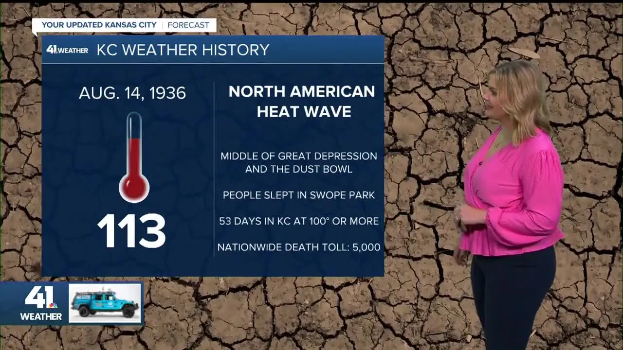
So far, this summer has not been without its heat extremes. The hottest temperature recorded this year was 99 degrees, but there's a historical context. In 1936, during the Dust Bowl era, temperatures soared to unprecedented levels, part of a severe North American heat wave. Kansas City was no stranger to this climate challenge, facing days of triple-digit heat that led to reflections on agricultural practices and environmental sustainability.
Thunderstorm Forecast
- Afternoon & Evening: Thunderstorms are likely to develop, primarily moving southwest into northern Missouri and northwest Kansas. Severe weather, while possible, is expected to be relatively scattered.
- Overnight: The most intense storms will peak in northwest Kansas and northern Missouri, with potential for heavy rain, hail, and gusty winds.
As the cold front continues to progress, we anticipate clearing conditions by morning with mild temperatures for the days that follow. Lindsey Anderson, Wes Peery, and meteorologists like Jeff Penner are monitoring these weather changes closely.
This article was prepared using information from open sources in accordance with the principles of Ethical Policy. The editorial team is not responsible for absolute accuracy, as it relies on data from the sources referenced.