Severe Thunderstorm Watch Issued for Tri-State Area
Severe Thunderstorm Watch Alert
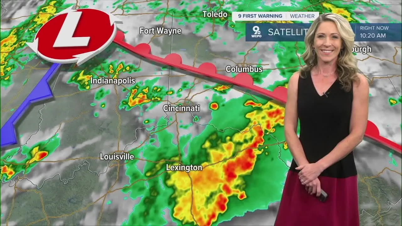
A Severe Thunderstorm Watch has been issued for the entire Tri-State until 8 p.m. this evening, indicating that another round of storms is expected. Prepare for strong weather patterns with potential severe thunderstorm activity this afternoon.
Weather Timing and Expectations
- Now to 5 p.m: Expect new showers and storms, with a risk of some becoming severe.
- 5 p.m. to 10 p.m: Isolated showers may continue, but intensity will diminish.
Earlier today, we witnessed widespread rain, and as we move into the afternoon, stronger storms are anticipated, posing risks for large hail, damaging winds, and isolated tornadoes especially from 1 p.m. to 6 p.m. After 6 p.m., any lingering precipitation will be isolated in nature and weaker.
Future Weather Patterns
Looking ahead, clouds will persist on Wednesday bringing a small chance for isolated rain showers, with temperatures reaching around 79 degrees. Meanwhile, tropical moisture from the Gulf of Mexico may influence weather patterns as Helene progresses, potentially bringing more rain by Friday.
This article was prepared using information from open sources in accordance with the principles of Ethical Policy. The editorial team is not responsible for absolute accuracy, as it relies on data from the sources referenced.