Artificial Intelligence Transforms Cartography with Innovative Tool

Introduction to AI in Cartography
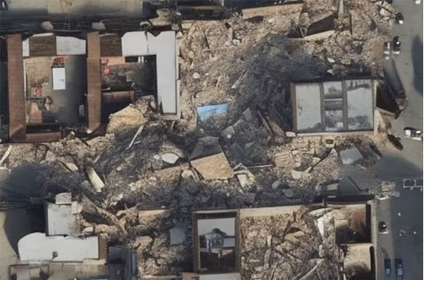
Engineering students at Washington University in St. Louis have made an impressive leap in the field of cartography by harnessing the power of artificial intelligence. They developed an AI tool capable of generating satellite images through simple text prompts.
Showcase at Conference
This innovative tool was presented at a recent conference, capturing the attention of attendees from various backgrounds in technology and geography.
Potential Applications
- Enhanced data representation
- Improved accessibility to geographic information
- Streamlined processes in creating maps
Conclusion
The advancements made by these students underscore the transformative effect of AI on traditional practices, such as cartography, paving the way for more efficient and user-friendly geographic data visualization.
This article was prepared using information from open sources in accordance with the principles of Ethical Policy. The editorial team is not responsible for absolute accuracy, as it relies on data from the sources referenced.