AI Navigation and Pokémon Go: Niantic's Innovative Approach

AI Navigation Innovated by Niantic
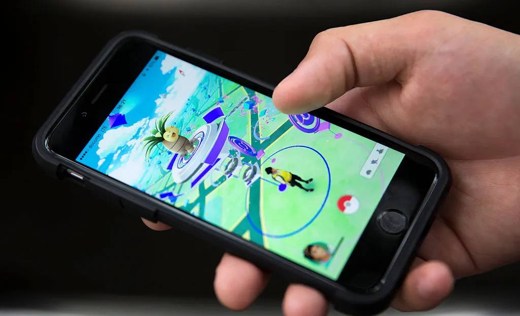
Niantic is bringing AI navigation to the forefront by utilizing Pokémon Go player data to build what it refers to as a Large Geospatial Model. Last week, they unveiled plans to develop an AI model aimed at navigating the real world with the datasets collected from players of their popular mobile games such as Pokémon Go, as well as users from its Scaniverse app, as detailed by 404 Media.
Revolutionizing AI with Player Data
All AI models necessitate training data, which historically has come from various sources including websites, YouTube videos, and books. However, this initiative marks a pioneering moment where training data is being sourced from a mobile gaming platform.
According to a blog post from Niantic, “Over the past five years, Niantic has concentrated on constructing our Visual Positioning System (VPS), which utilizes a single image from a smartphone to ascertain its position and orientation based on a 3D map derived from user-generated scans of intriguing locations in our games and the Scaniverse app.”
Niantic's approach highlights the potential for machine learning and mobile games to intersect in ways previously unimagined.
This article was prepared using information from open sources in accordance with the principles of Ethical Policy. The editorial team is not responsible for absolute accuracy, as it relies on data from the sources referenced.