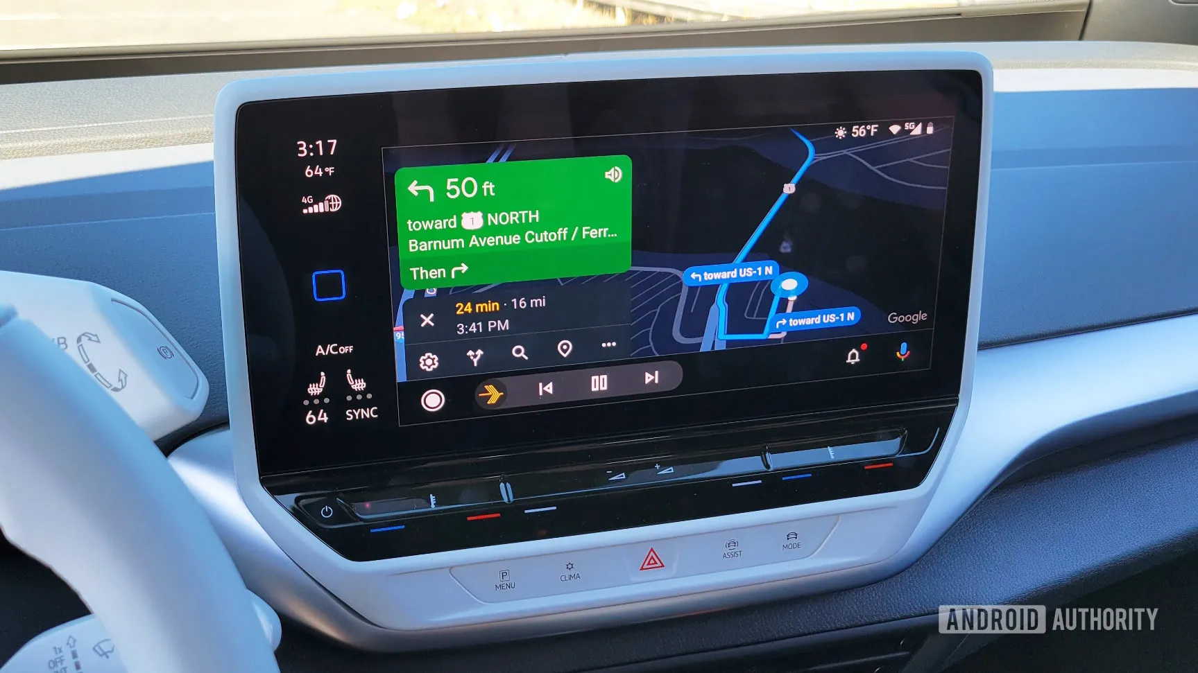
Google Maps and Waze Integrate Police Data for Enhanced Navigation

Google Maps and Waze Enhance Navigation with Police Integration
In a groundbreaking move, Google Maps and Waze have teamed up to use police data to improve route efficiency for users. This collaboration is designed to enhance the navigation experience by providing real-time updates on traffic conditions and alerts for incidents on the road.
Benefits of Police Data Integration
- Real-time traffic updates: With police data, users can receive immediate notifications about accidents and road closures.
- Seamless navigation: This integration promises a more fluid driving experience, reducing delays.
- Community safety: Users can stay informed about nearby police activity, contributing to overall security.
Future Prospects for Google Maps and Waze
This innovative approach not only enhances the functionality of Google Maps and Waze but also strengthens the relationship between technology and law enforcement. As more data becomes available, we can expect further enhancements in navigation technologies, potentially revolutionizing the way we drive.
This article was prepared using information from open sources in accordance with the principles of Ethical Policy. The editorial team is not responsible for absolute accuracy, as it relies on data from the sources referenced.