Google Maps New Updates: Enhanced Satellite Imagery Takes Navigation to New Heights

Google Maps New Features Unveiled
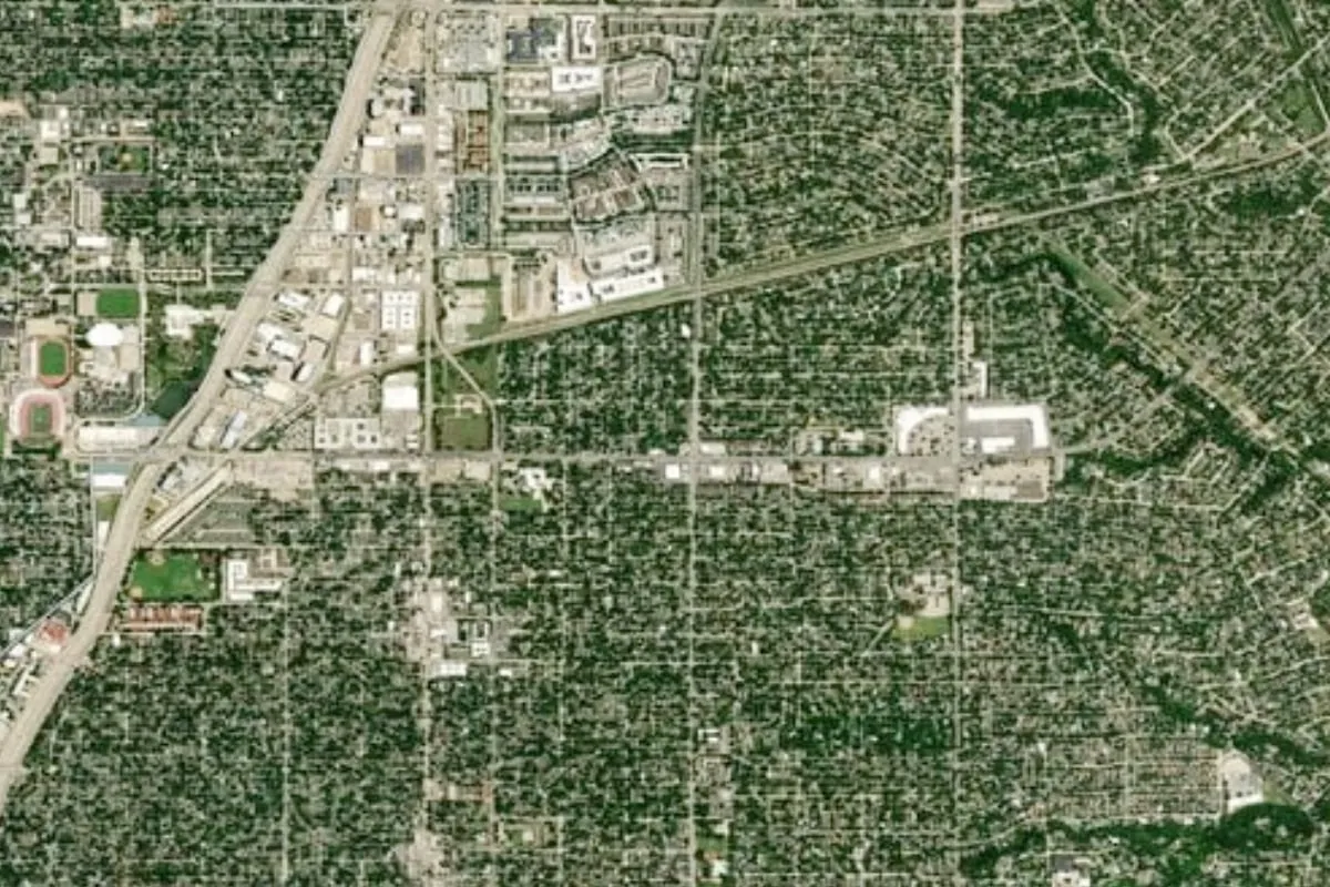
In its latest update, Google Maps has introduced groundbreaking new features that include enhanced satellite imagery. These improvements allow users to explore their environments with a level of detail never seen before. The update focuses on optimizing the visual experience, ensuring users can navigate with greater clarity.
Features of the Enhanced Satellite Imagery
- Higher resolution images for a more accurate view of locations.
- Improved detail and depth in natural landscapes and urban areas.
- Real-time updates reflecting changes in geography.
This transformative Google Maps update not only enhances user experience but also sets a new standard for mapping and navigation applications.
Why This Update Matters
The introduction of enhanced satellite imagery in Google Maps is a significant milestone for digital navigation tools. Users can expect to benefit from more informed decisions based on accurate geographical data.
This article was prepared using information from open sources in accordance with the principles of Ethical Policy. The editorial team is not responsible for absolute accuracy, as it relies on data from the sources referenced.