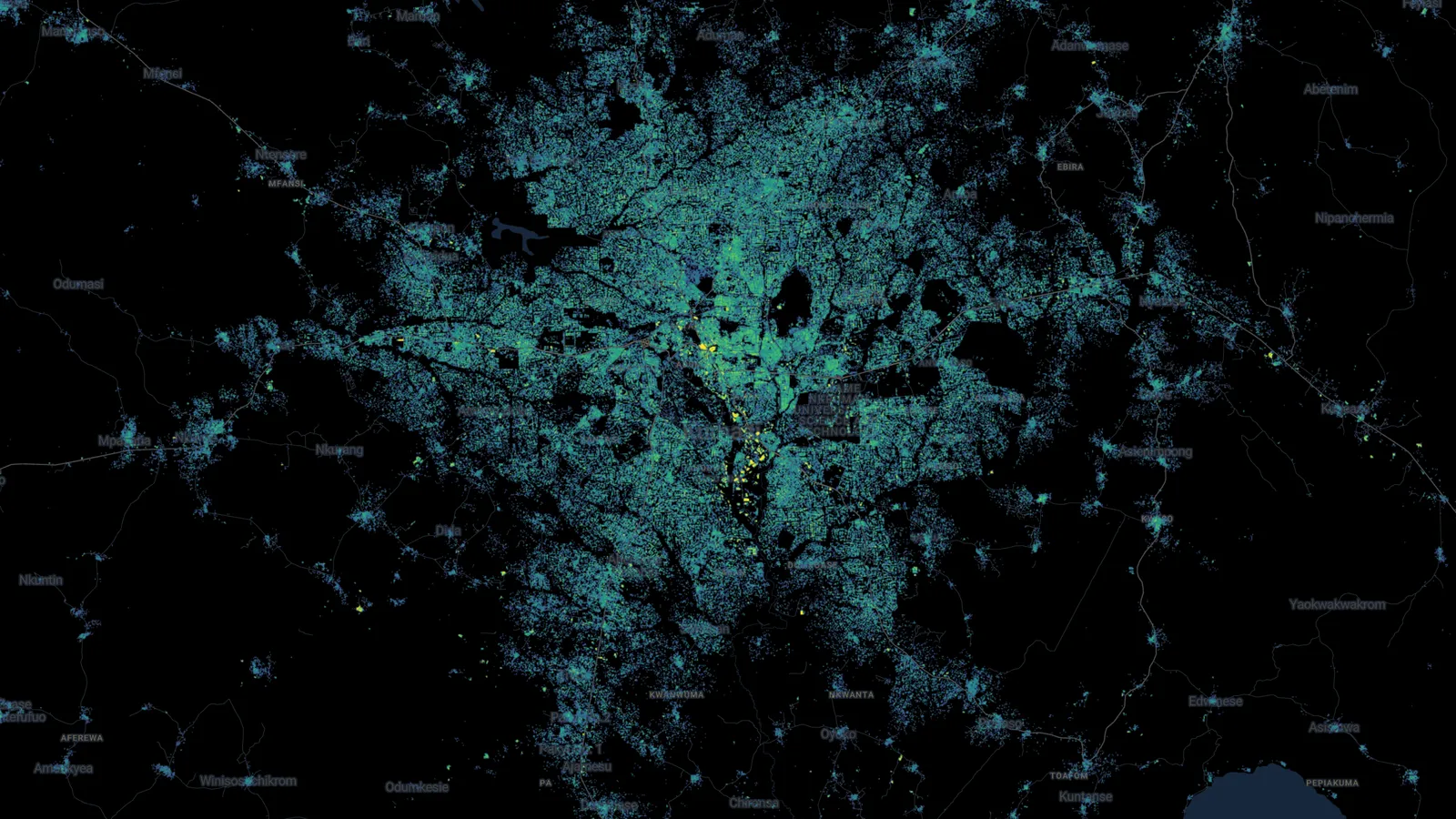
AI Revolutionizes Mapping Techniques for Identifying Settlements

AI's Role in Enhancing Mapping Accuracy
AI is increasingly being utilized to spot buildings and settlements within under-mapped regions. The advancements in artificial intelligence techniques allow for better image analysis and data interpretation. By leveraging low-resolution imagery, this technology serves to
- Identify critical infrastructure
- Facilitate humanitarian efforts
- Support urban planning initiatives
Impact on Global Mapping Strategies
By improving the recognition of essential features in satellite imagery, AI enhances the mapping strategies that serve developing regions. This initiative has the potential to:
- Reduce inequality in geospatial data accessibility
- Empower decision-makers with vital information
- Enable better resource distribution
Future Developments in AI Mapping
As AI continues to evolve, we can expect more sophisticated algorithms that refine the mapping process and expand the global understanding of urban development. The incorporation of machine learning will enable ongoing improvement in the identification of complex structures from varied image resolutions.
This article was prepared using information from open sources in accordance with the principles of Ethical Policy. The editorial team is not responsible for absolute accuracy, as it relies on data from the sources referenced.